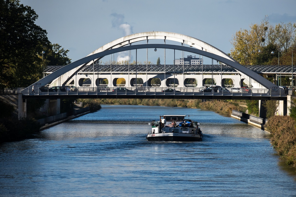
The CoVadem platform gathers data from inland navigation ships to map current and predicted available depth on Dutch shipping lanes. The organisation now calls on more ships to join to increase its coverage, which in turn will also benefit research into soil subsidence.
CoVadem uses Big Data technologies to map current water depths. This is done by combining data from a “sailing measurement network” of ships with smart computer programs and algorithms. Currently, more than fifty ships deliver data to CoVadem, which includes those of individual ship owners as well as those of for example Danser Containerline and HTS Group.
CoVadem also offers an automated travel and performance log, which provides insight into the performance of a ship. At the same time, research is ongoing with the organisation working on the introduction of a depth map that will be compatible with all common navigation software for inland navigation (Tresco, Periskal, Innovative Navigation, Stentec).
Optimal Use of Cargo Capacity
All ships connected to CoVadem have sensors on board. On a central server, the data received from these ships is processed, analysed and supplemented with expected water levels and weather reports. In this way, it is possible to generate real-time depth information and water level predictions for each route. CoVadem subscribers have continuous access to this information, for example in the form of electronic navigational charts.
The idea behind this is that inland shipping companies are better able to determine how much cargo they can take with them, so that their transport capacity is used optimally. This increases their turnover, requires less fuel and thus reduces their carbon footprint.
Keeping Tabs on Soil Subsidence
Rijkswaterstaat’s ships (Rijkswaterstaat is part of the Dutch Ministry of Infrastructure and Water Management) also take part in CoVadem. Although not transporting cargo, as the waterway manager, it is concerned about how soil subsidence of centimetres per year, differences in soil hardness (which have created “barriers” at Nijmegen and St. Andries) and climate change will affect, for example, the stability of dikes and the accessibility of locks.
Partly for this reason, trials are being conducted to see what happens in the river with an upstream replenishment of sand and gravel, researcher Rolien van der Mark of Deltares told SWZ|Maritime magazine earlier this year. Between April and July this year, for example, Rijkswaterstaat dumped gravel in the Upper Rhine. Results of these trials are expected to be published in 2022.
Van der Mark: ‘In fifty years’ time, we will be talking about subsidence of at least 1.5 metres. We can prevent this in three ways: by-passing dams, pouring sediment into the Upper Rhine and constructing secondary channels. Using our own surveys and the daily CoVadem figures, we can measure the consequences of these measures. With their five million measurements a day, the current participants already give a picture of the behaviour of river dunes, for example, but with 250 ships, you also get a better picture of what is happening upstream in Lobith for example.’
Free Ship Connection
More ships participating in CoVadem will increase the platform’s coverage and accuracy. To get more ships to join, it is now possible to register for CoVadem and receive the ship connection free of charge. In addition, participants will receive temporary free access to all of the platform’s services. Once proceeding to a subscription, participants get a life-time ten per cent discount.